How can the modelling tools OneSTOP builds help stakeholders? Insights from our workshop during Neobiota 2026
Authored by Helen Roy (UKCEH), Sofie Meeus (Meise Botanic Garden), Nadya Denkova (Pensoft Publishers)
During Neobiota 2026, OneSTOP organised a workshop, bringing together decision-makers, practitioners and other stakeholders and ecological modellers to discuss how the scientific tools and associated outputs from the project can support people working on invasive alien species.
The event opened with an overview of the project, introducing OneSTOP and how it connects research on species distributions, risks and impacts with the practical needs of national and EU environmental governance.
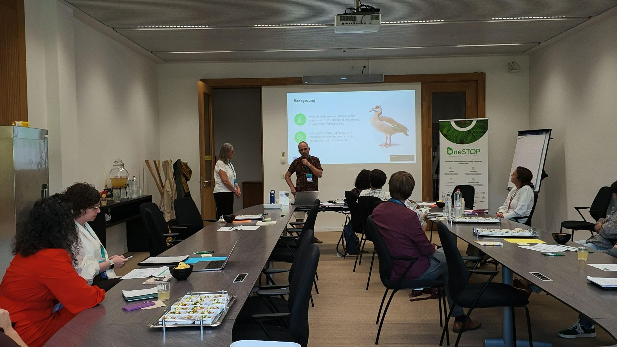
OneSTOP coordinators Quentin Groom and Helen Roy presenting an overview of the project to stakeholders
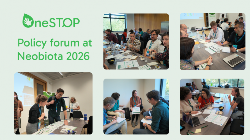
The participants were invited to an interactive World Café, where they moved between five stations, each introducing a tool developed by OneSTOP through a set of infographics.
Station 1: Species distribution models (SDMs)
Species distribution models combine species records (observations of occurrence), from sources such as the Global Biodiversity Information Facility (GBIF), which aggregates information from many sources including citizen-science platforms like iNaturalist, with information about the environment, such as climate, land cover and terrain. The result is a map showing where conditions suit the species today and how that could change in the future.
OneSTOP is producing such maps for 120 invasive alien species that live on land: 70 that are listed or proposed as "species of Union concern" under EU law, and 50 chosen by the project's Living Labs in Belgium, Finland, Portugal, Romania and the UK. The maps cover the whole of Europe in fine detail (1 km squares) and show conditions for the recent past and for two future periods, 2041–2070 and 2071–2100, under three standard scenarios of how climate and society might develop. They help show which areas are at risk and, for example, where to focus monitoring and control. You can explore them in OneSTOP's SDM Map Gallery.
Station 2: Prioritisation Framework for IAS and the Invaders Toolbox
Deciding which invasive alien species (IAS) to prioritise for management action is one of the hardest questions facing environmental authorities and managers - resources are limited, the list of species keeps growing, and the situation changes from year to year. OneSTOP is developing an integrated prioritisation framework to support decision-makers in prioritisation processes in a transparent, repeatable way.
As different stakeholders have different needs, the framework offers four profiles:
-
General (research): for broad-scale research and reporting, looking at impact, management cost, invasiveness, pathways, spread and how easy a species is to detect.
-
Management: for on-the-ground control and eradication, from national to local level.
-
Impacts: for effects on nature, culture, public health, food security, climate and the economy.
-
IUCN Red List: for where threatened species, protected areas and the invasive alien species that threaten them overlap.
The profiles are built into the Invaders Toolbox, a web application that is currently under development. It will let users adjust the weight of each factor to reflect national or regional priorities and record assessments over time to see how priorities change and why.
Station 3: Data-Driven Horizon Scanning
Horizon scanning is an important tool to (i) assess the risk of invasive alien species entering new areas and (ii) allow development of effective species monitoring and management strategies. In that context, OneSTOP has developed a workflow that collates open-source and global datasets on invasive alien species and country characteristics associated with invasion risk (invasion status: SINAS, species interactions: GLOBI, presence/absence of interactors and taxonomy: GBIF, climate niche: Open Meteo, trade flows: BACI) to train a neural network to predict the likelihood of alien species invading new countries. For any given country, the model outputs a ranked set of invasive alien species based on their predicted likelihood of invading an area of interest. This tool has the potential to accelerate horizon scanning exercises by providing rapid and data-driven horizon scanning lists at the national level, as well as giving insights in the (ecological) characteristics driving invasion risk.
Station 4: Prioritisation Maps for Red List Species Protection
The EU Biodiversity Strategy for 2030 aims to halve the number of Red List species threatened by invasive alien species. OneSTOP is developing a prioritisation workflow that brings together Europe's threatened terrestrial species and the invasive alien species that threaten them. It models where each of the threatened species could live now and in the future under different climate and land-use scenarios, including rare native species for which hardly any records exist. Combining these maps with the threat each invasive alien species poses, as recorded in the Red List assessments, shows where invasive alien species are likely to hit threatened wildlife hardest.
Station 5: OneSDM – Species Distribution Modelling under Environmental Change Scenarios
As new alien species emerge and ecological data continue to accumulate, predictions must be updated rapidly to ensure that management actions keep pace with changing invasion risks and are guided by the best available evidence. OneSTOP is developing OneSDM, an R package to make modelling the distribution of invasive alien species faster, simpler and more accessible.
The package automatically gathers and checks data from trusted open sources such as GBIF and the European Alien Species Information Network (EASIN). It then builds the models and produces maps of where invasive alien species could occur across Europe. Much of the work is automated, which lowers the technical barrier for practitioners, while researchers can still adjust every step.
During the workshop, stakeholders engaged in discussions about each of the tools and helped the teams to map the next steps in their development. The perspectives and comments from the participants were incredibly insightful, and we all enjoyed the lively atmosphere in the room. We are extremely appreciative of the time given by the stakeholders through their excellent engagement at this workshop.
We are now reflecting on the thoughtful contributions to improve the outputs that we are developing through OneSTOP.